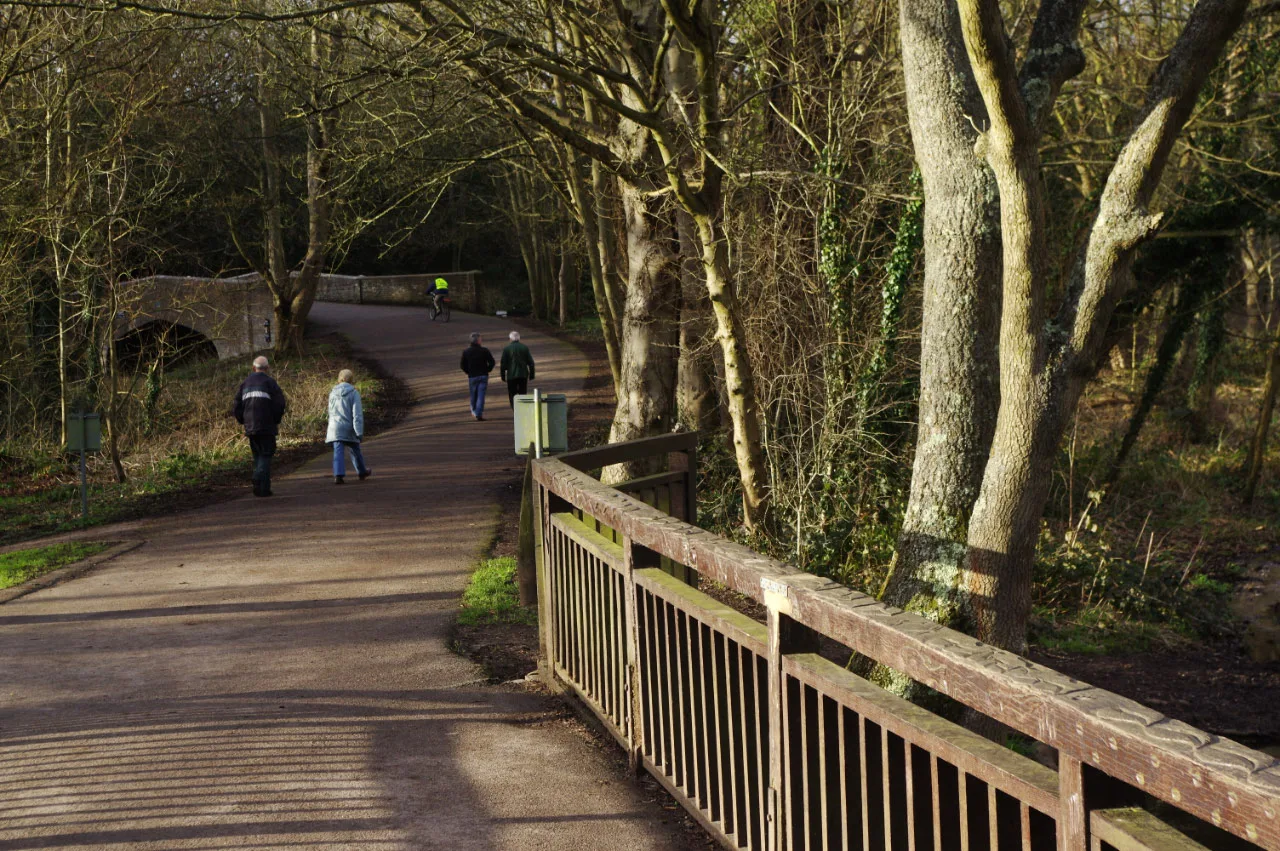

Ten Boxing Day walks near Watford, from Cassiobury Park and Whippendell Wood to the Aquadrome and the River Chess, with distances and parking. Updated November 2026.
Watford has ten Boxing Day walks worth getting out of the house for in 2026, and this guide puts them in one place with distances, start points and parking. Most people head for Cassiobury Park and the canal at Iron Bridge Lock, or loop through Whippendell Wood beyond it. Oxhey Woods is the big woodland on the south side of town, and the Rickmansworth Aquadrome and the River Chess are ten minutes’ drive west. Every route was checked against its owner’s own pages on 15 November 2026.
Overview
Boxing Day 2026 is a Saturday, and the bank holiday moves to Monday 28 December. What to know before you go:
- Light. The sun sets just before 4pm, so start the longer country walks by 1pm.
- Trains. National Rail says most operators run no trains on Boxing Day. Last Boxing Day the Underground ran a Sunday service, which is what makes the Metropolitan line walks below possible; our Watford Christmas travel page will have the 2026 timetable when TfL publishes it.
- Parking. Cassiobury Park’s car park on Gade Avenue is free for two hours, then £3.10 for three. Whippendell Wood, Oxhey Woods, the Aquadrome, Chorleywood House Estate and Aldenham all have free car parks. The Aquadrome car park shuts at 6pm in winter.
- Food and drink. No cafe or pub on these routes had published Boxing Day hours by mid-November. Ring before you walk to one for lunch.
- Mud. Hertfordshire clay and the chalk-stream meadows are wet from November to March. The council itself recommends wellies away from Cassiobury’s surfaced paths.
Woodland walks in Watford
1. Cassiobury Park and the River Gade
The town’s big park and the easiest Boxing Day walk in Watford: 190 acres of grass, old trees and woodland a short walk from the town centre, holding Green Flag and Green Heritage Site awards. The council says about half the park is wooded, with veteran oaks and a Cedar of Lebanon more than 100 years old.
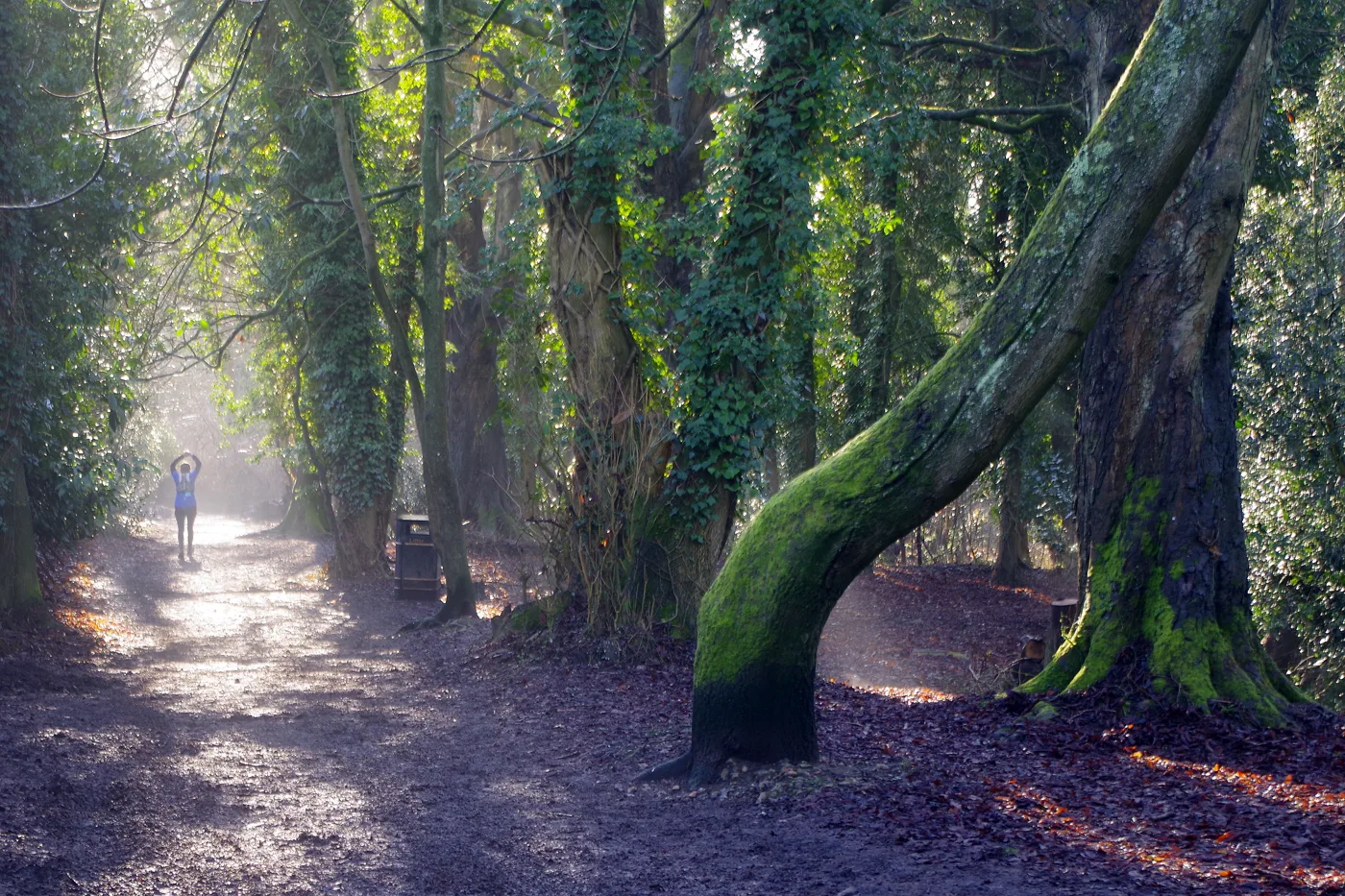
The River Gade, which the council calls a globally rare chalk river, runs through the western side beside the Grand Union Canal, and that strip is a Local Nature Reserve where mandarin ducks, little egrets, herons and kingfishers turn up. Former watercress beds are being turned into a wetland.
Dogs go on a lead in the reserve. A lap from the Gade Avenue car park to Iron Bridge Lock and back takes under an hour.
Parking Cassiobury Park car park, Gade Avenue, WD18 7LG (217 spaces, up to 2 hours free, 3 hours £3.10, open 7.30am to 10pm)
Cafe Cedar Cafe at the park hub, normally 8am to 5pm; Cafe in the Park at the Tea Pavilion, normally 9am to 4pm
Access surfaced main paths; wet and muddy in the nature reserve
Address Cassiobury Park, Watford WD18 7LG
Website watford.gov.uk/cassiobury-park-3
Good for canal lock, chalk river, kingfishers, buggies on the main paths, short outing
2. Whippendell and Harrocks Woods, the canal and Cassiobury
The best circular walk near Watford, and the one to pick if you want two or three hours out. CPRE Hertfordshire’s figure-of-eight starts at the free Whippendell Wood car park on Grove Mill Lane.
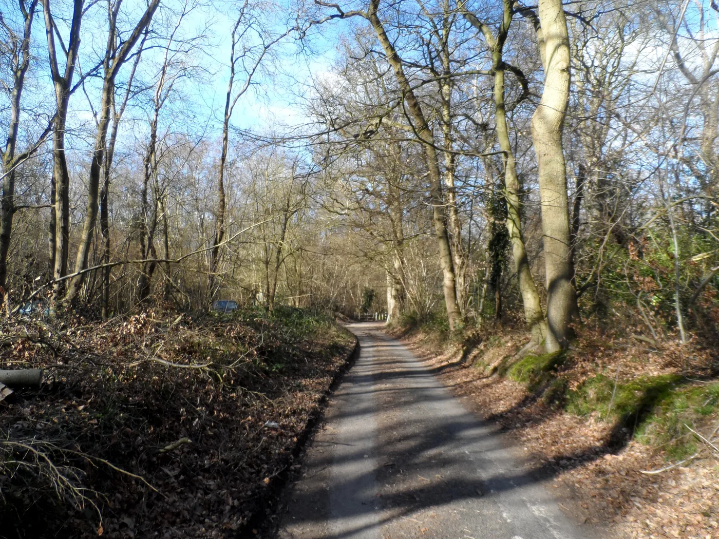
Whippendell is ancient woodland dating from about 1600 and a Site of Special Scientific Interest, home to deer, badgers and bats. The route crosses Rousebarn Lane into Harrocks Wood, follows field paths back over West Herts golf course to the Grand Union Canal at Bridge 167, runs down the towpath to Bridge 168, then returns through the 25-hectare Cassiobury nature reserve and up the Lime Avenue.
Without a car, start from Watford Metropolitan line station and walk through the park.
Distance 4.8 miles (7.8km), 2 to 3 hours, 91m of climbing
Parking free car park on Grove Mill Lane, 0.8 miles west of the A411 (what3words known.lift.dozed); barriers stop wide vehicles. A smaller car park is off Rousebarn Lane
Access easy to moderate, some hills, kissing gates and a golf course crossing
Cafe Cedar Cafe in Cassiobury Park, on the route
Website cpreherts.org.uk/discover/whippendell-and-harrocks-woods-the-grand-union-canal-and-cassiobury-park
Good for ancient woodland, canal towpath, chalk stream, longer walk
3. Oxhey Woods, South Oxhey
The biggest woodland walk on the south side of town. ParksHerts says Oxhey Woods covers nearly 100 hectares and is the largest Local Nature Reserve in Three Rivers.
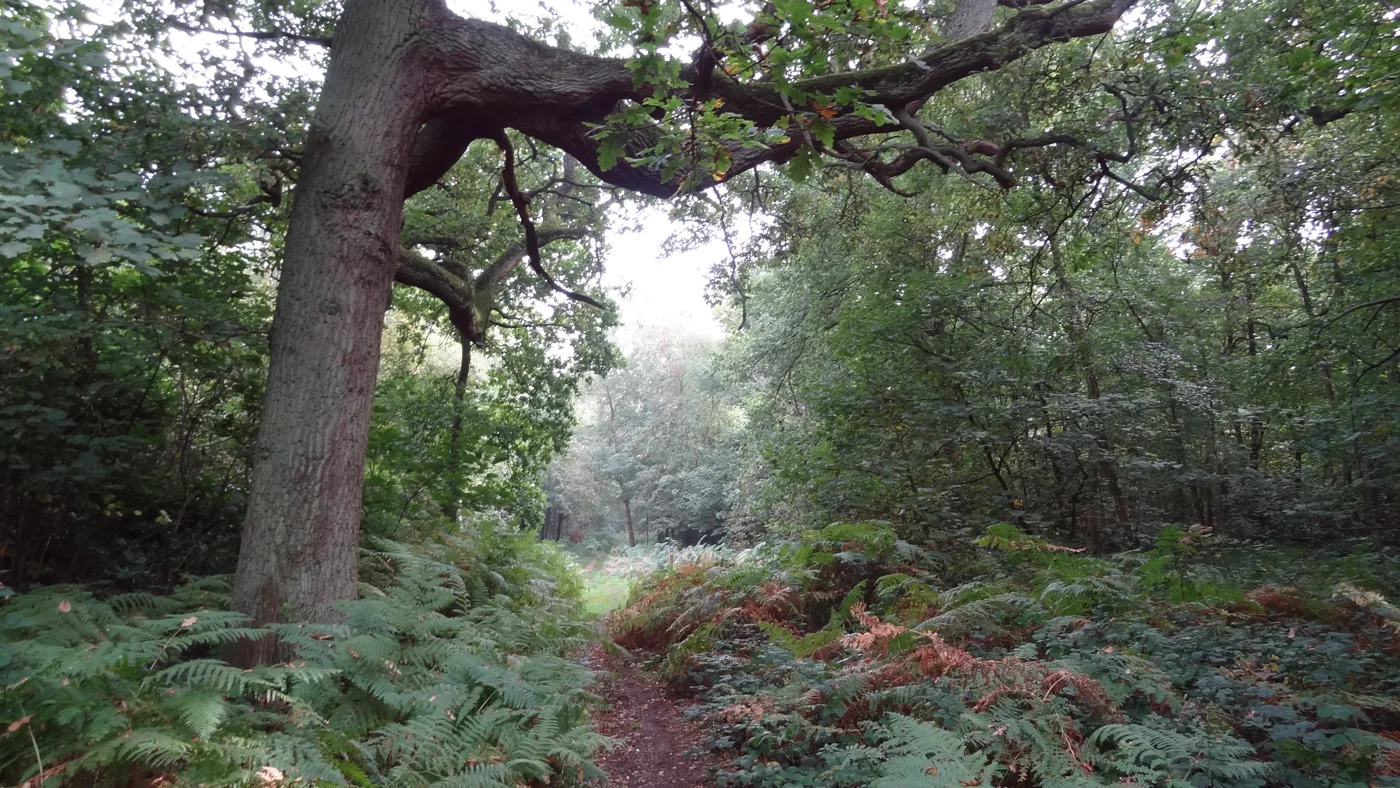
It is mostly ancient woodland, parts of it dating back towards the end of the last ice age, with old coppiced hornbeam, hazel and sweet chestnut, oak high forest, and wood banks and ditches marking old boundaries. A sculpture trail starts at a carved oak arch, with a chainsaw-carved frog in the pond, a stag beetle high in an oak and a woodland “living room” for children to find.
The paths are buggy-friendly and dogs are welcome.
Parking free car park at the junction of Prestwick Road and Oxhey Drive, in the south of the woods
Access pushchair-friendly paths
Address Oxhey Woods, Prestwick Road, South Oxhey
Website parksherts.co.uk/parks/oxhey-woods
Good for ancient woodland, sculpture trail, children, dogs, free parking
Rickmansworth and Croxley
4. Croxley Common Moor
A short walk across open grassland by the River Gade, between Croxley Green and the canal. The moor is a Site of Special Scientific Interest and a Local Nature Reserve of about 40 hectares, grazed by cattle to keep the scrub down; ParksHerts says some of its grassland types are found almost nowhere else in Britain.
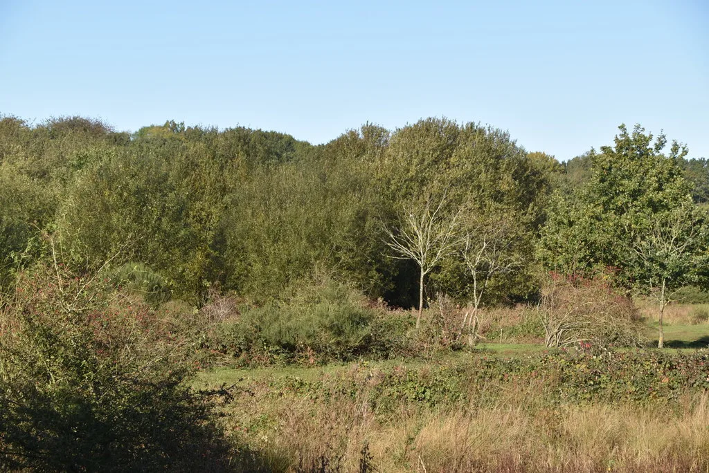
Croxley Mill, John Dickinson’s paper mill, stood beside it from 1828 to 1982. ParksHerts’ marked route is 1.1km, and the Ebury Way old railway path runs alongside, so it is easy to stretch into a longer walk towards Rickmansworth.
There is no car park of its own.
Distance 1.1km marked route; join the Ebury Way or the canal to go further
Parking no designated car park; street parking in Croxley Heath
Access open grassland, wet towards the western end; cattle grazing
Website parksherts.co.uk/parks/croxley-common-moor
Good for open space, river, cattle, dogs, short outing
5. Rickmansworth Aquadrome
Two big lakes and a lot of birds, with a cafe and toilets by the car park. The Aquadrome is a 41-hectare Local Nature Reserve on the edge of Rickmansworth.
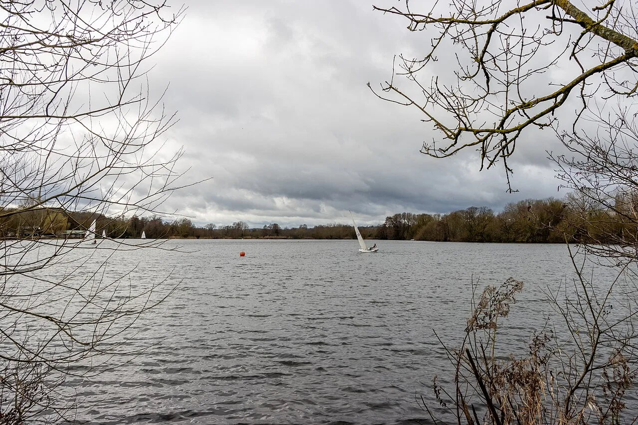
Bury Lake and Batchworth Lake are flooded gravel pits, worked from 1924 to 1926; ParksHerts says some of the gravel is said to have gone into the original Wembley Stadium. Winter is the time for waterfowl: goldeneye, smew and goosander are on the list, along with great crested grebe and kingfisher.
The paths are flat and pushchair-friendly, there is a large play area by Batchworth Lake, and National Cycle Route 61 runs through.
Parking free car park off Frogmore Lane, WD3 1NB, open 8am to 6pm from October to April
Toilets yes, next to the cafe
Cafe Cafe in the Park, by the car park
Access flat, pushchair-friendly paths; dog-free picnic area
Website parksherts.co.uk/parks/rickmansworth-aquadrome
Good for lakes, winter birds, play area, buggies, toilets
6. Chorleywood House Estate and Chorleywood Common
Forty hectares of old parkland, woods and chalk grassland just west of the M25, with Chorleywood Common next door. The estate was two farms before a Georgian mansion went up; in 1892 the ninth Duke of Bedford bought it for his eldest daughter, Lady Ela Russell, who rebuilt the house as the Victorian mansion that stands today.
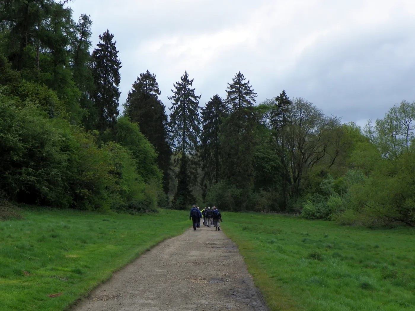
The house is private, but the grounds are a Local Nature Reserve, with Cattermole’s community woodland, planted from 1992, and sculptures from 2013 round the pond: ParksHerts mentions a fox bench, a bear in a tree and an owl with her chicks. From Chorleywood station it is about a mile across the Common.
Parking free car park at the main entrance on the A404, about half a mile west of M25 junction 18
Access grass and woodland paths; walk across the Common from Chorleywood station (about 1 mile)
Website parksherts.co.uk/parks/chorleywood-house-estate
Good for parkland, sculptures, open common, dogs, free parking
Country walks near Watford
7. The Chess Valley Walk
The classic long walk from Rickmansworth, and the one to save for a dry Boxing Day. The Chilterns Conservation Board’s waymarked route runs 10 miles up the valley of the River Chess, a chalk stream, from Rickmansworth station to Chesham station, past water meadows, watercress beds, the old estates at Chenies and Latimer, and Frogmore Meadows, a Herts and Middlesex Wildlife Trust reserve where water voles have come back.
Both ends are on the Metropolitan line, so if the Underground runs its Sunday service on Boxing Day again you can walk one way and ride back. Otherwise walk out from Rickmansworth and turn round when the light starts to go.
Distance 10 miles one way, Rickmansworth station to Chesham station
Parking Rickmansworth station is 1.5 miles from M25 junction 18
Access field paths, stiles and gates; wet in winter
Website chilterns.org.uk/map_marker/chess-valley-walk
Good for chalk stream, water meadows, long walk, train at both ends
8. Sarratt, Chenies and the River Chess
A circular walk in the same valley, with five pubs on or near the route. CPRE Hertfordshire’s loop starts at Sarratt Village Hall at the southern end of the long green, crosses fields to Church End, drops to the River Chess, climbs into Chenies in Buckinghamshire and returns.
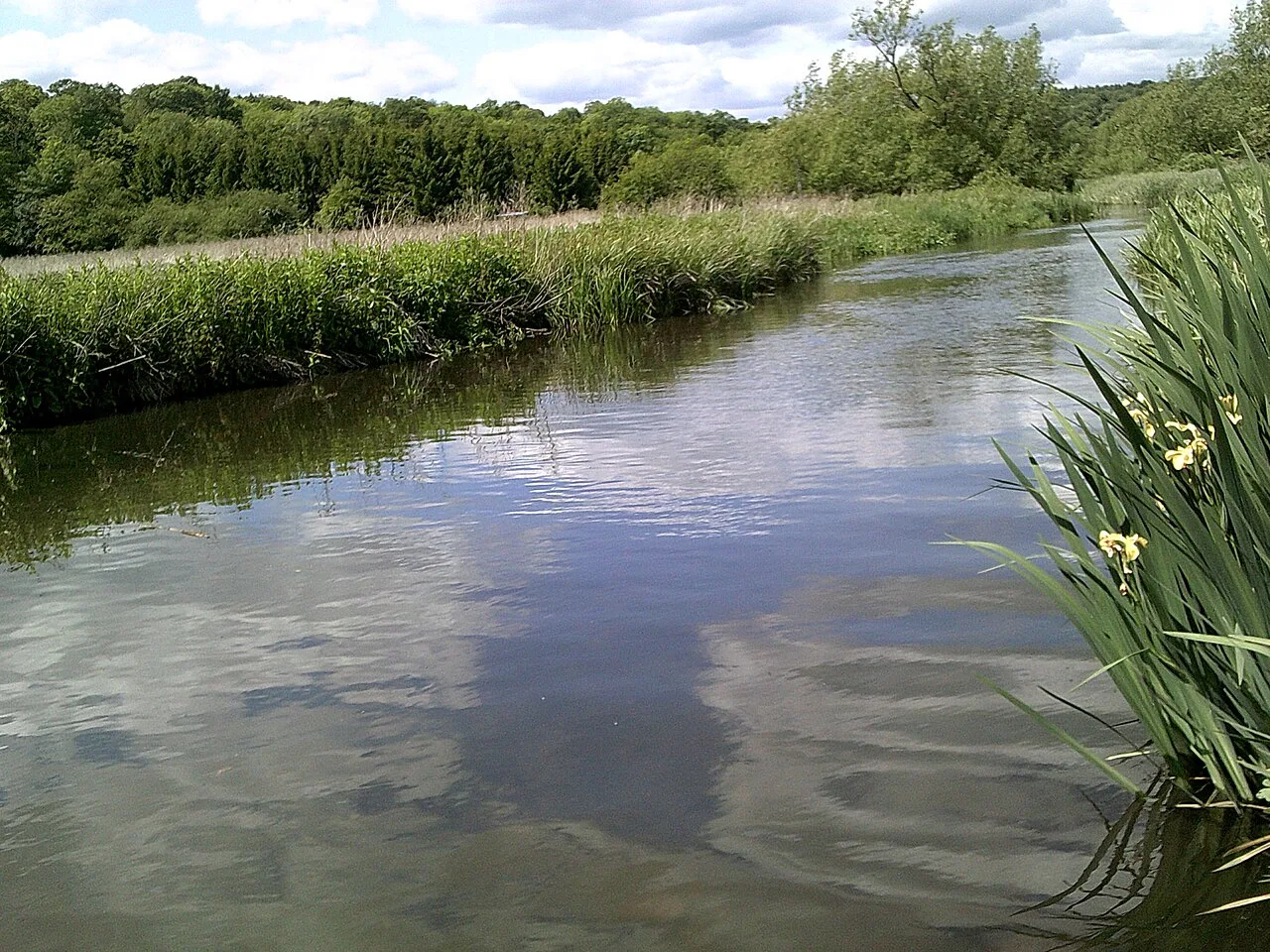
Almost all of it is in the Chilterns National Landscape. CPRE rates it moderate: there are several steep hills, and they can be slippery in the wet.
In Sarratt the Cricketers, the Cock Inn and the Boot are by the green; in Chenies there are the Bedford Arms and the Lion.
Distance 5.3 miles (8.5km), about 3 hours, 142m of climbing
Parking roadside parking along Sarratt green
Access moderate; several steep hills, slippery when wet
Address Sarratt Village Hall, The Green, Sarratt
Website cpreherts.org.uk/discover/sarratt-chenies-and-the-river-chess
Good for chalk stream, Chilterns views, village pubs, hilly walk
9. Kings Langley and Chipperfield
The walk with the widest views. CPRE Hertfordshire’s 6.9-mile loop starts at Kings Langley station, crosses the River Gade and the canal, and climbs the western side of the Gade valley to Chipperfield Common, through open country where CPRE says to expect cattle, sheep and horses.
It quotes Arthur Mee’s prewar King’s England calling the countryside round Chipperfield “one of the best bits of country within easy reach of London”. There are pubs and cafes in both villages.
Kings Langley is one stop from Watford Junction, but with no trains expected on Boxing Day, drive and park in the village.
Distance 6.9 miles (11.1km), about 3 hours, 144m of climbing
Access easy to moderate, some hills; livestock in fields
Address starts at Kings Langley station
Website cpreherts.org.uk/discover/kingslangleyandchipperfield
Good for long views, Chipperfield Common, village pubs, longer walk
10. Aldenham, the River Colne and Letchmore Heath
The pick on the Bushey and Radlett side. CPRE Hertfordshire’s 5.5-mile figure-of-eight starts opposite the church in Aldenham, follows a quiet stretch of the River Colne and crosses open Green Belt farmland to the village green at Letchmore Heath.
CPRE rates it easy, with one stile that a short road section avoids. The Round Bush and the Three Horseshoes at Letchmore Heath are on the route, and there is a farm shop and cafe at Battlers Green.
Distance 5.5 miles (8.9km), about 3 hours, 83m of climbing
Parking free parking on Church Lane, Aldenham, opposite the church (what3words legend.rider.habit)
Access easy; one stile, avoidable by road
Website cpreherts.org.uk/discover/aldenham-the-river-colne-and-letchmore-heath
Good for river walk, village green, two pubs, farm shop
How we chose
These are the walks near Watford that people search for and that have a published route or an owner’s page behind them: Watford Borough Council’s Cassiobury Park pages, CPRE Hertfordshire’s walk sheets, ParksHerts for the Three Rivers nature reserves, and the Chilterns Conservation Board’s Chess Valley Walk leaflet. Distances and climbing figures are theirs. Cafe and pub hours change at Christmas; we will add Boxing Day opening times as they are published. For more ideas for the holidays, see things to do in Watford, what’s on in Watford this month, our Christmas dinner guide, Christmas travel in Watford and the Watford directory.
Run a place that should be here, or spot something that has changed? Email newsdesk@watfordtoday.co.uk. Taken a good photograph of any of these places? Email it to newsdesk@watfordtoday.co.uk and we will add it with your name as the credit.
Frequently asked questions
Where can I walk in Watford on Boxing Day?
Cassiobury Park is the obvious choice: 190 acres a short walk from the town centre, with the River Gade nature reserve, the Grand Union Canal at Iron Bridge Lock and Whippendell Wood beyond it. Oxhey Woods in South Oxhey, nearly 100 hectares of mostly ancient woodland with its own free car park, is the other big walk inside the town’s edge.
What is a good circular walk near Watford for Boxing Day?
CPRE Hertfordshire’s figure-of-eight from the free Whippendell Wood car park on Grove Mill Lane is 4.8 miles: through Whippendell and Harrocks Woods, along the Grand Union Canal towpath and back through the Cassiobury nature reserve. It takes two to three hours and has 91 metres of climbing.
Which Boxing Day walks near Watford have free parking?
Whippendell Wood (Grove Mill Lane), Oxhey Woods (Prestwick Road), the Rickmansworth Aquadrome (Frogmore Lane, open 8am to 6pm in winter), Chorleywood House Estate (off the A404) and Aldenham (Church Lane) all have free car parks. Cassiobury Park’s own car park on Gade Avenue is free for the first two hours.
Have your say